degree (in geometry) A unit of measurement for angles. Each degree equals one three-hundred-and-sixtieth of the circumference of a circle.
equator An imaginary line around Earth that divides Earth into the Northern and Southern Hemispheres.
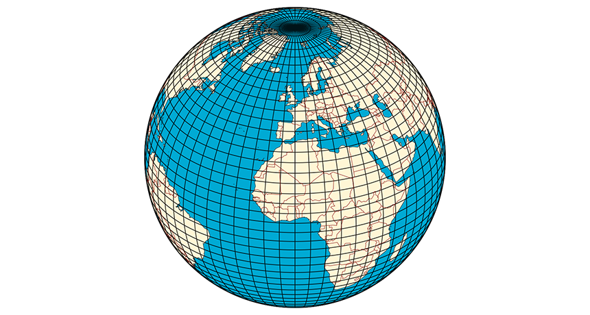
latitude The distance from the equator measured in degrees (up to 90). Low latitudes are closer to the equator; high latitudes are closer to the poles.
longitude The distance (measured in angular degrees) from an imaginary line — called the prime meridian — that would run across Earth’s surface from the North Pole to the South Pole, along the way passing through Greenwich, England.
nautical mile A unit of measurement for distances at sea, which equals 1.15 miles on land. A nautical mile is determined by the circumference of the Earth at the equator (1 nautical mile being 1 minute — or 1-60th of a degree of longitude — at the equator).
Western (n. the West) An adjective describing nations in Western Europe and North America (from Mexico northward). These nations tend to be fairly industrialized and to share generally similar lifestyles; levels of economic development (incomes); and attitudes toward work, education, social issues and government.